KIRYAT SHMONA, Israel (JTA) — Here’s how you plan a reporting trip to Israel’s northern war zone.
You check the app of Israel’s Homefront Command to browse the locations of recent attacks by Hezbollah. You’re looking for someplace that’s seen some action, but not too much — because you don’t have a helmet or flak jacket and you’ve made some vague promises to your wife.
You find yourself puzzling over what shirt to wear: Should you go with olive green, which offers maximal camouflage from among your limited wardrobe, or does green increase the chances that a Hezbollah sniper will mistake you for a soldier and identify you as a target? In any case, you’re wearing blue jeans, so you don’t exactly blend in. You decide to split the difference and go with a brown T-shirt.
I live about two hours south of the conflict zone, so when I head toward the border with Lebanon, I’ve got a bit of a drive ahead of me, and I’m not sure where to go. Along the border, Israel faces daily fire from Hezbollah, the Iran-backed Lebanese group designated by numerous countries as a terror organization. More than 60,000 people have been displaced from their homes in northern Israel since October.
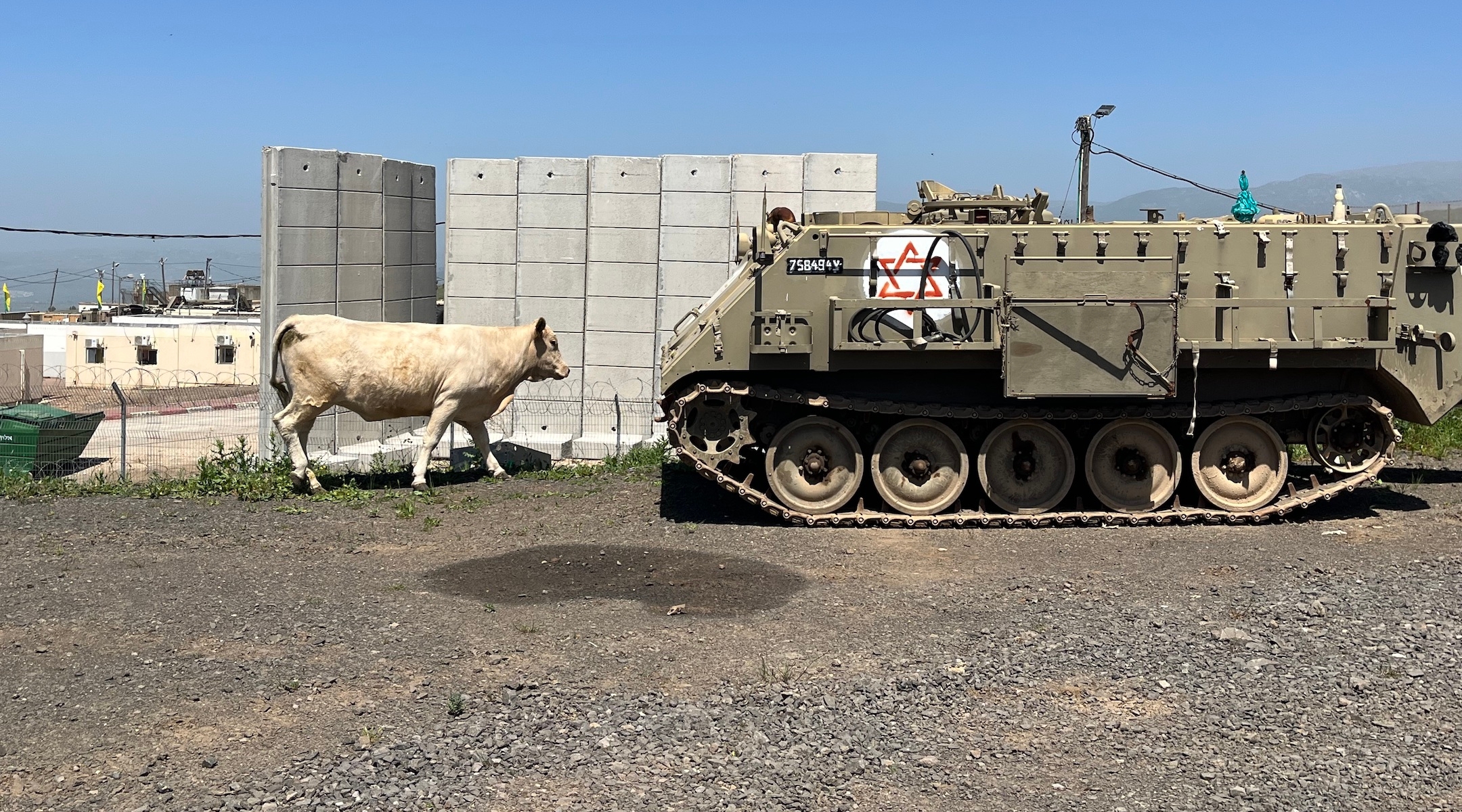
The visible military presence increases the farther north I get. Armored personnel carriers, army jeeps and military fuel trucks crowd the road, and the only travelers at rest stops seem to be soldiers. At one gas station, a handful of volunteers work a barbecue, offering soldiers free lunches, snacks and drinks.
Closer to Kiryat Shmona, the largest Israeli city to be evacuated, the traffic thins out but there are still a few cars on the road. I’m not quite sure where the danger begins. I’m in the panhandle area of Israel known as the Finger of the Galilee, an outcropping of territory surrounded by Lebanon to the west and north and the Golan (formerly Syria’s, now Israel’s) to the east. I eye the sky a bove the mountain ridge to my left, scanning for projectiles. The ridge itself is inside Israel, but Lebanon is just beyond.
In the conflict zone, it’s safer to drive fast then slow because it’s harder for terrorists to target a fast-moving vehicle with a shoulder-borne weapon. It’s one of the many differences from normal life in this upside-down world, and it’s why all the traffic signals in Kiryat Shmona run continuously on flashing yellow lights. Stopping for a red light is just too dangerous.
As I approach the southern entrance to Kiryat Shmona, just a mile and a half from Lebanon and well into the evacuation zone, the quiet, verdant hills belie the war that has taken the lives of about two dozen people in northern Israel since the outbreak of hostilities last October. More than 350 people have been killed on the Lebanese side, most of them Hezbollah members, according to the group.
The area still bears the hallmarks of one of Israel’s most popular vacation destinations. Roadside signs advertise river kayaking, torchlight tours of the Nimrod fortress near the Syrian border, a cable car ride up the Manara Cliff. There’s no asterisk indicating they’re all closed, or explaining that dozens of homes in Kibbutz Manara, an Israeli community of 280 right along the Lebanese border, have been destroyed by Hezbollah fire.
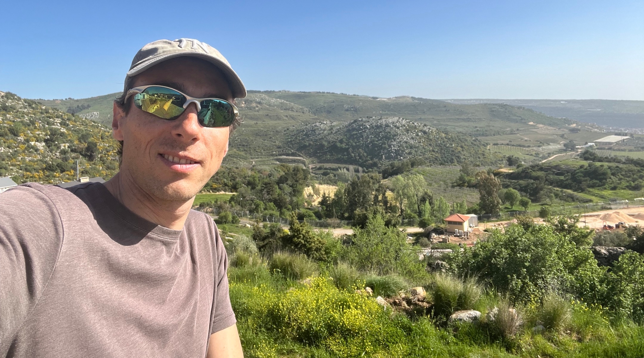
The reporter in Neve Ativ, one of Israel’s highest-altitude towns, overlooking the Golan Heights. (Uriel Heilman)
I hadn’t intended to drive all the way into Kiryat Shmona. But I encounter no army checkpoint before I reach the city, and in the car beside me I spot an elderly woman behind the wheel, looking unfazed. Well, damn. If she can do it, so can I.
I manage to do a few interviews during my brief visit to Kiryat Shmona, but I’m interrupted by two sirens warning of incoming rocket fire. Locals rush me to shelter in the kitchen of the only shawarma restaurant still open in the city.
Before leaving town I pull up the map on my phone to find the best route out. It shows my location as the Beirut airport. I try again. This time I’m in Cairo. I later learn that the Israeli authorities regularly scramble GPS signals in the conflict zone so as not to provide rocket-armed enemies with information about the whereabouts of Israeli civilians. I had arrived on a day that GPS signals in the entire country were scrambled following an attack on the Iranian embassy in Damascus, for which Israel was anticipating reprisals by Iran or its proxies in Lebanon.
As I race eastward across the finger of the Galilee on a road lined with eucalyptus trees, I realize the trees serve a function I never before considered: They not only provide welcome shade but also block a direct line of sight for Hezbollah. I later learn that was by design.
It takes just a few minutes to cross the Galilee here, and soon I again head northward. But a few miles later I encounter my first army checkpoint: Points north are dangerous for civilians.
I turn into Kfar Szold, the northernmost community in the Galilee not under mandatory evacuation orders. The soldiers at the kibbutz gate wave me through, and I park in front of a guesthouse where my two older kids and I stayed a couple of years earlier on a ski trip to Mount Hermon, about 45 minutes away. The rooms are all shuttered and the dining room is empty. The flowers that line the kibbutz pathways dazzle in a springtime bloom of yellow and purple. I can hear the faint buzz of a tractor.
From the kibbutz I continue farther east, climbing to the plateau of the Golan Heights — territory Israel captured in the 1967 Six Day War and later annexed. This is one of the most beautiful places in Israel, and it’s looking its best: The hills are still mostly green after the winter rainy season, even though it’s already over 85 degrees. In a few weeks they’ll turn dry and desiccated, yellowed out until next winter’s rains.
Although it’s still claimed by Syria, the Golan hasn’t seen real combat since the 1973 Yom Kippur war, when the area was the site of fierce tank battles between Syrian and Israeli forces. But the growing regional conflict that began on Oct. 7 has renewed concerns in the Golan that have been dormant for years. I notice newly erected berms with bunkers on the side of some roads — positions for the army to hold should there be an invasion of the territory. After Hamas’s surprise attack and the subsequent opening of the northern front by Hezbollah, that otherwise far-fetched scenario no longer can be ignored. Over the last six months of war, Hezbollah rocket attacks have reached many areas in the Golan, there have been a few drone infiltrations of the Golan from militants in Syria, and in mid-April Iran targeted sites in the Golan with its barrage of ballistic missiles, cruise missiles and drones.
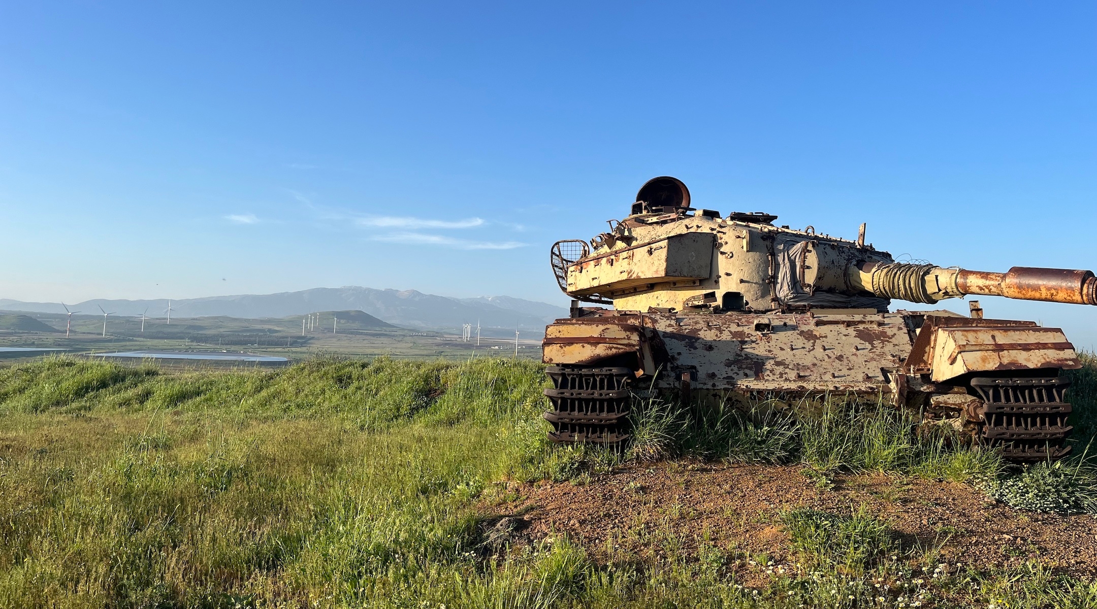
A rusting tank on a hill in the Golan Heights overlooking Syria is a vestige of an earlier war. The area last saw serious fighting during the 1973 Yom Kippur War. (Uriel Heilman)
With the sun sinking, I look for a place to do a short stand-up video to post on social media. I find an old, rusting tank left over from one of the wars and set up my shot. But late-afternoon swarms of gnats foil my plans, and all I’m left with is an expletive-laden video selfie where I stumble through the high grass swatting in vain at my miniscule antagonists.
It’s time to find a place to sleep. I know the Golan well enough to have favorite hotels here, but in community after community I find them all closed. My phone shows Airbnbs available nearby, but there’s no indication of whether they’re equipped with bomb shelters.
Sitting on the side of the road outside one of the Golan’s kibbutzim, I work my phone to reserve a room at a hotel near the Sea of Galilee — far from where I want to be the next day but safely beyond the conflict zone. It’s almost dark now, but there’s enough light to make out a dozen or more tanks parked in the trees across the road.
When I finally arrive at my hotel I’m surprised to find the parking lot full — until I reach the lobby and discover that almost all the guests are evacuees from one of the border communities up north. As I approach the reception desk the clerk looks up at me and says, “I know who you are! You’re the one who booked us on Expedia. Now I have to see if we have a clean room.”
He leaves me to wait in the lobby for a very long time. In the meantime, I go up to the dining room, where there are only 20 minutes left before the buffet dinner closes. I end up spending a long evening chatting with a group of seniors from an evacuated kibbutz who have been living at the hotel for more than five months. They seem to be in good spirits. When they see me the next morning at breakfast they greet me warmly by name.
It’s nearly noon before I find my way to the hotel exit, to head back to the Golan Heights for a day of reporting in Druze and Israeli villages near the nexus of the Israeli, Syrian and Lebanese borders. Along the way, I bump into some more elderly ladies on their way out of an exercise class and then some kindergarteners at their makeshift school. They’ve taken over the buggy of an Arab hotel employee setting up for the season’s opening of the outdoor swimming pool, and their teacher is trying to coax them out. The pool man is laughing.
At the time of my visit Passover was fast approaching and the hotel was expecting to be sold out, but a big chunk of guests were to be the evacuees who’ve been living there for months.
When I ask one of them if she thinks she’ll still be in the hotel for the fall Jewish holidays, a sad smile spreads across her face. She shrugs.
“We don’t know anything,” she says. “I try to do the best that I can within this situation.”
JTA has documented Jewish history in real-time for over a century. Keep our journalism strong by joining us in supporting independent, award-winning reporting.
